


Eldar Rubinov is Positioning and Geodesy Technical Lead at Frontier SI. This is a centre of excellence for spatial information in Melbourne, Australia. We had a great chat about a recent presentation he gave in Kuching, Malaysia about use of an Australian/New Zealand SBAS for high accuracy positioning in Malaysia.
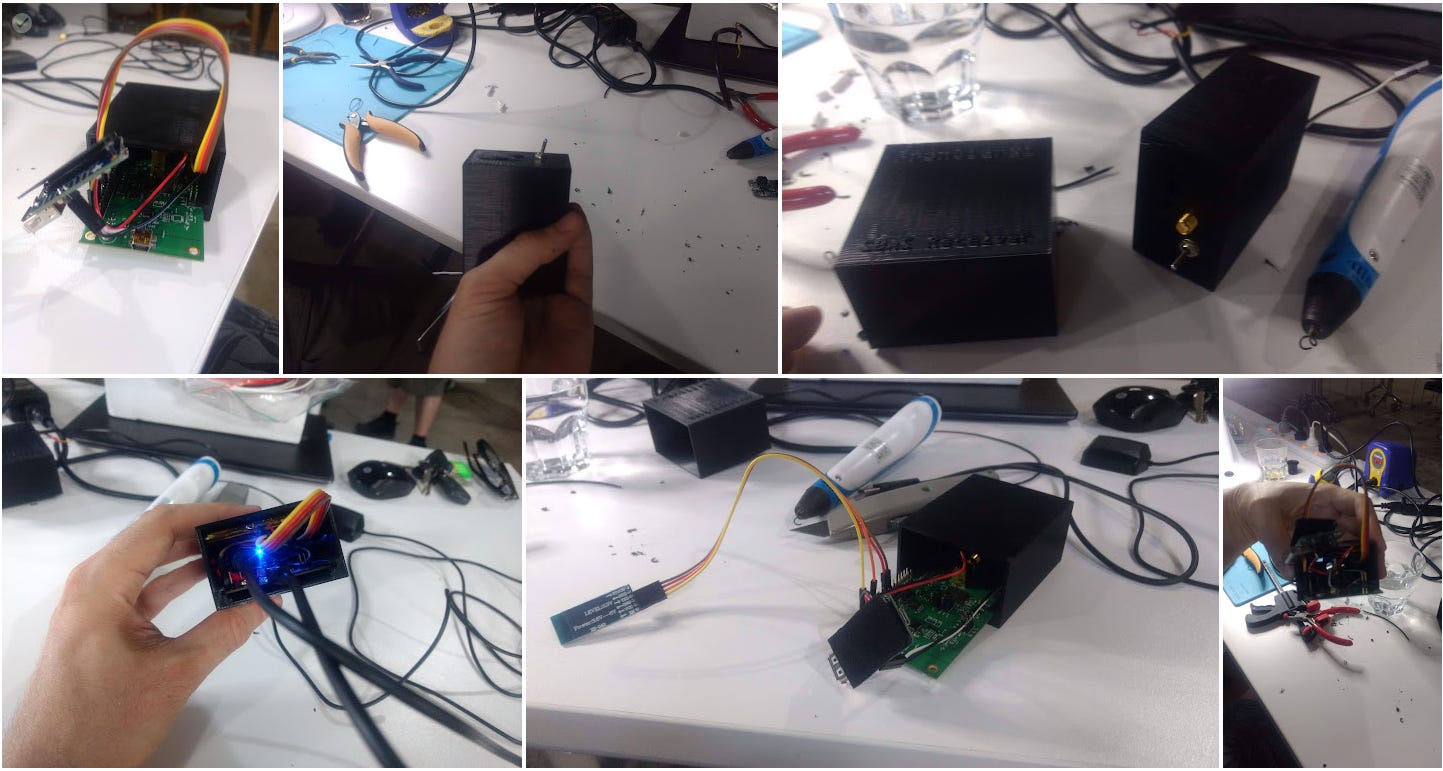
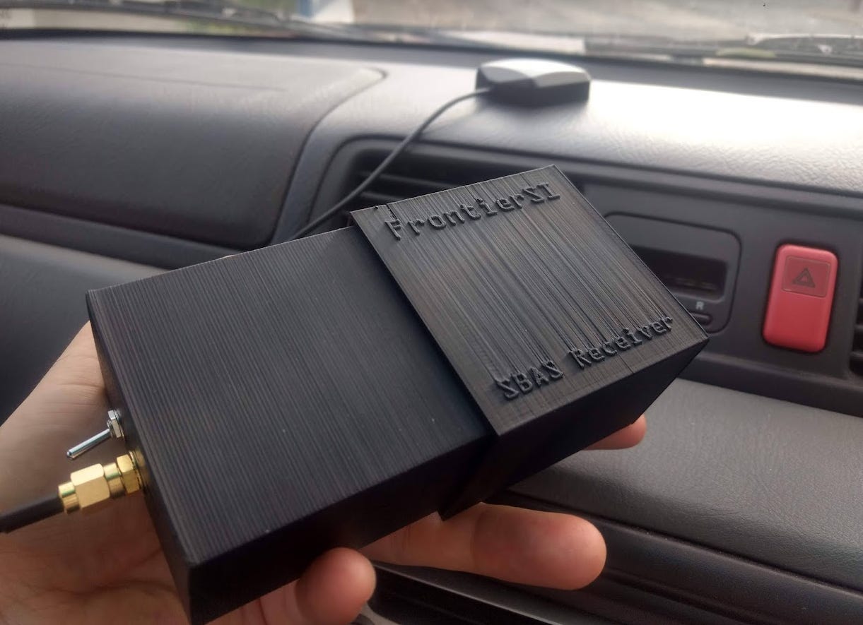
An SBAS is a satellite based augmentation system. It augments global navigation satellite systems (GNSSs) like GPS to provide at least submetre positioning. Back in 2020 I arranged an Adelaide Mapup that Eldar attended. He told us about the SBAS Test Bed. This was an early phase of setting up such a system for Australia and New Zealand. He gave us instructions on how to make a receiver, including 3D printing an enclosure. I had a lot of fun making it, as detailed here.
He also tested Gallileo in Kuching. Even though both systems are not designed to offer high accuracy positioning in Malaysia, it could nevertheless be achieved with them. We had a broader discussion about some of the technical details of these systems and how they can fail, such as spoofing and jamming.
We then moved on to Eldar's comments on the Positioning, Navigation and Timing subindex of The Geospatial Index. It was good to have a review of my work by an expert.
Finally, Eldar offered some reflections from his time at Fugro. I asked him for this given they are struggling in the market of late. Some links for those interested in topics discussed:
Listing of PNT subindex components on LinkedIn
Cheap jammers (possibly illegal where you live)
Landing in Queenstown, NZ:

THE GEOSPATIAL INDEX
The Geospatial Index is a comprehensive listing of all publicly traded geospatial businesses worldwide. Why? The industry is growing at ~5% annually (after inflation and after adjusting for base rates). This rate varies significantly, however, by sub index. For $480,000 to start, this growth rate is $5,000,000 over a working life. This channel, Bluesky account, newsletter, watchlist and podcast express the view that you are serious about geospatial if you take the view of an investor, venture capitalist or entrepreneur. You are expected to do your own research. This is not a replacement for that. This is not investment advice. Consider it entertainment.
NOT THE OPINION OF MY EMPLOYER
NOT YOUR FIDUCIARY
NOT INVESTMENT ADVICE
Bluesky: https://bsky.app/profile/geospatial.money
LinkedIn: https://uk.linkedin.com/in/geospatialindex
Watchlist: https://www.tradingview.com/watchlists/123254792/
Newsletter:

Podcast:

Share this post